
Sources for Wheeling Neighbors
No public roll is a full household list. The Ohio County GIS map defines the search area, and one assessor card then describes each selected parcel. Deeds confirm recorded ownership. West Virginia voter records can verify a known person or permit a defined statutory inspection, but the public name-and-birth-date tool does not browse a block. City maps and Crime Watch add neighborhood context rather than private membership details.
| Source | What It Shows About a Block | Access |
|---|---|---|
| Ohio County GIS | Parcel outlines, map position, roads and visible layers | Free viewer; not a survey |
| Assessor cards | Owner, mailing address, situs, value and deed reference | Free, one parcel at a time |
| Deed index | Recorded parties and conveyances for selected parcels | 1993 onward online; older Vault books |
| Voter record | Named status or permitted public-list fields | Person lookup or office inspection |
| Neighborhood map | Officially named Wheeling areas | City PDF |
| Crime Watch | Meeting locations and civic contact | Public schedule; no member roster |
| Reverse directory | Historic occupants by street number | Library or HeritageQuest |
The clearest distinction is owner versus occupant. A parcel card proves whom the assessor lists for tax purposes. Its mailing line may lead to a bank, trust, company, or other service address. Neither line reveals all Wheeling neighbors in the household.
Map the Wheeling Block
Begin at the Ohio County GIS launch page and accept its disclaimer. The map is informational, not a deed, plat, or survey. Parcel edges, measurements, ownership, easements, and aerial features may change. Use the map to select lots, then use the official card and deed for details.
- Search or zoom to the target Wheeling street and address. Record its parcel ID and situs address.
- Click parcels that share an apparent edge and parcels facing the same block. Do not infer adjacency from street numbers alone.
- Open an assessor card for every selected parcel. Record owner, situs, mailing address, map/parcel, and deed book and page.
- Compare shared owners and mailing addresses with care. They may reflect one trust or service address, not one household.
- Use the deed index when title matters. Treat the GIS boundary as a visual aid until a recorded plat or deed confirms it.
The captured Ohio County GIS route states the limits that apply before opening the parcel viewer.
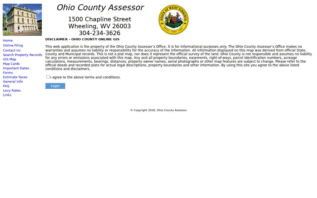
That warning matters along alleys, bends, river or rail corridors, and parcels with rear lots. For every lot along a named road rather than the immediate block, use the Wheeling streets lookup.
Verify Each Wheeling Neighbor Parcel
The Ohio County Assessor Property Search accepts owner name in LAST NAME FIRST NAME format, parcel address, account number, district, map, parcel, property type, legal description, deed book, and page. Enter the parcel ID captured from GIS when street text is ambiguous. The resulting card can show assessed owner, separate street and mailing lines, deed reference, sale history, value, parcel dimensions, acreage, building links, and tax-data links.
These fields make the assessor the most useful bridge from a map shape to a public name. They do not prove occupancy. A homestead or class flag is also an assessment clue, not a full resident finding. If the property lies in Wheeling's Marshall County precinct rather than Ohio County, switch county systems instead of concluding that the address has no record.
- Parcel
- A mapped unit of land identified for assessment and recording.
- Situs address
- The physical address assigned to the taxed parcel.
- Mailing address
- The destination for owner tax notices, which may be elsewhere.
- Plat
- A recorded drawing that defines lots, boundaries, and related land detail.
Wheeling Blocks Are Not Rosters
The Secretary of State voter lookup requires first name, last name, and date of birth. It confirms a known voter's status, party, districts, and polling place. It has no street, ZIP, or block input. A no-match may reflect spelling, timing, inactive or canceled status, another county, or a protected address. It is not proof that a person is absent.
West Virginia Code §3-2-30 makes name, residence address, party, status, and registration or voting information inspectable, subject to exclusions and restrictions. Phone, email, Social Security, driver's license, and nonoperator identification data are excluded. “Voting information” does not mean ballot choices. Ohio County can provide precinct inspection and qualifying printed lists, but the current request form and media format were not published in the research source.
For a defined request, contact Ohio County Voter Registration and Elections and state the precinct, fields, date, and preferred inspection or copy format. Statutory use limits remain in force.
Name the Wheeling Neighborhood
Wheeling neighborhood names do not match ZIP codes, precincts, or parcel districts. The official city map labels Downtown, South Wheeling, Mozart, East Wheeling, Wheeling Island, Center Wheeling, Fulton-Glenwood, North Wheeling, Clator, Oglebay Park, Park View, Pleasanton-Oakmont, Woodsdale-Edgewood, Elm Grove, and Warwood.
Those names supply useful civic and geographic context for neighbors, but the map does not identify households. Wheeling Island, the river valley, hills, rail routes, and city-county overlap are good reasons to use mapped parcels rather than a guessed radius. A postal address using “Wheeling” can also differ from the incorporated city or its Ohio County portion.
Wheeling Association Directory Gap
The official Wheeling neighborhoods page currently says its content is in development. No authoritative citywide association directory or member roster was found. That gap should remain visible. It is better to use the city's map and current public contacts than invent association boundaries or imply that a private roster is complete.
The captured city neighborhood page shows the present public status of this resource.
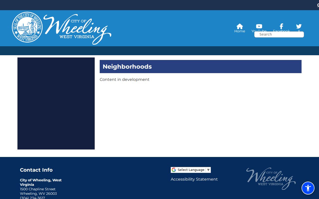
The page is a starting point for future city updates, not a current directory of Wheeling neighbors. Church histories, vertical files, city board lists, and other Ohio County Public Library material can help with older civic connections, but no complete public congregation, club, or block-watch membership list was verified.
Meet Wheeling Neighbors in Person
Wheeling Police Crime Watch provides the strongest current civic contact layer found in the city sources. Meetings are open to any resident. The March 2026 schedule rotated among Warwood, Wheeling Island, Center/South, Woodsdale/Edgewood/Pleasanton, and Elm Grove, using churches and community locations. Call 304-234-3708 for the current schedule because dates and venues change.
Official Neighborhood Map
Use for named city areas and geographic context. It does not list residents or association members.
Police Crime Watch
Use for open meetings and current civic contact. It does not publish an attendee roster.
Ohio County Public Library
Use church histories, vertical files, maps, and directories for documented historical community ties.
A public meeting is a sound way to learn the concerns and boundaries residents use in daily life. It also avoids turning a record search into unwanted contact with a specific household.
Trace Past Wheeling Neighbors
Modern parcel cards name assessed owners, while reverse city directories can identify historical occupants by address. Ohio County Public Library directories use reverse street sections from about 1898. Sanborn maps show building footprints and uses for selected years, and the 1901 atlas maps property owners with rail, streetcar, and utility context.
Historical addresses need one extra check. Wheeling changed street names and address numbers on July 11, 1873, including some streets that kept the same name. Preserve the printed old number, then use the library's renumbering handout and maps to bridge it to the later parcel. The map and directory complement one another: one describes place, and the other may name an occupant.
Official Wheeling Neighbor Evidence
Official rolls are narrower than commercial neighbor tools, but their custody and meaning are clearer. A public agency can explain its update cycle, fields, correction method, and statutory limits. A compiled commercial profile may merge same-name people, carry an old address, or omit a correction. It remains an unverified lead.
| Choice | Strength | Limit |
|---|---|---|
| Assessor and GIS | Direct parcel and assessed-owner source | Not a household or legal survey |
| Deed and voter custodian | Defined official fields and copy routes | Restricted or protected information remains closed |
| Commercial neighbor profile | May gather many leads quickly | Source, date, identity match, and completeness may be unclear |
For a wrong parcel record, contact the Assessor. For a deed index problem, contact the Clerk. For registration, use Elections. A commercial opt-out can remove a copied profile but cannot erase a lawfully public source record.
Privacy for Wheeling Neighbors
Public records do not expose utility, delivery, motor-vehicle, or complete household data. The West Virginia Address Confidentiality Program gives qualifying survivors of domestic violence, sexual assault, stalking, or human trafficking a substitute address accepted by agencies and courts. Certification lasts four years, and first-class mail is forwarded. A protected address is not a puzzle to solve.
Collect only what the legitimate task needs. Parcel ownership can support property curiosity, deed research, or scam checks without turning every name into a claim about who lives there. Respect no-contact requests and private spaces. Ask the records custodian about errors instead of confronting a household.
Lawful use. Use Wheeling neighbor records for legitimate personal and civic purposes. Never use them to watch, stalk, harass, intimidate, or harm another person.